
Browse Items (4516 total)
- Collection: Ken Armson fonds
Sort by:
Salt lands, Alberta, aerial view (Roads 1 mile apart)
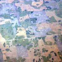
Salt lands and other land uses
Farmland north of Toronto, Humber E. in foreground
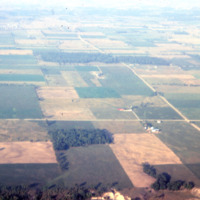
Cultivation lands outside the Toronto city
Forest farmland in Maine/New Brunswick, aerial view (Covered bridge)
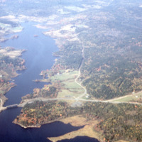
Aerial view of a border bridge between USA and Canada
Shield forest, Northwestern Ontario
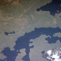
Forested lands in Northwestern, ON
Shield forest, Northwestern Ontario
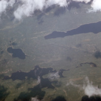
Forested lands
Land use patterns, Eastern Townships, Quebec
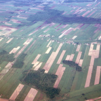
Land uses in rural Quebec
Land use patterns, Eastern Townships, Quebec
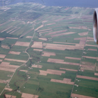
Aerial view on different land use types in Quebec
Land use patterns, Bouctouche River, New Brunswick
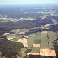
Aerial view of forest and river
Land use patterns, towards Harcourt, NB
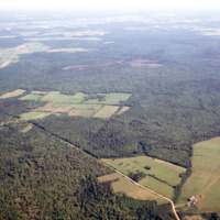
Cultivation plots among forest lands
Land use, Waskesiu camping area, Prince Albert National Park, Sask.
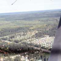
Aerial view of houses and camping areas