
Browse Items (4516 total)
- Collection: Ken Armson fonds
Sort by:
Burt Township- fire May 20/1970 - general view
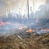
Two photographs depict a general view of a fire in Burt Township, Timiskaming, Ontario.
Burt Township - fire May 20/1970
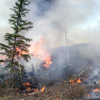
Two photographs depict a fire in Burt Township, Timiskaming, Ontario.
Burt Township - Heavy slash accumulation before burn
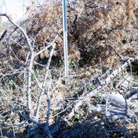
Photograph depicts a heavy amount of tree litter (or slash) accumulation around an Al stake in Burt Township, Timiskaming, Ontario.
Burt Township - normal slash accumulation before burn
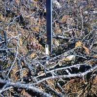
Photograph depicts a normal amount of tree litter (or slash) accumulation around an Al stake in Burt Township, Timiskaming, Ontario.
Burt Township - T Seanger taking samples prior to burn
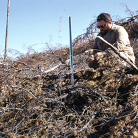
Photograph depicts T. Seanger taking samples from an al state prior to a prescribed burn in Burt Township, Timiskaming, Ontario
Burt Township - J Irwin & T Seanger taking soil samples from randomly located al stakes 1 day before burn
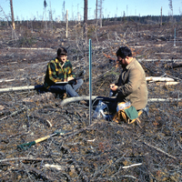
Photograph depicts J Irwin (left) and T Seanger (right) studying soil samples from al stakes in Burt Township, Ontario, one day before a prescribed burn
Burt Township - general view - cut 1969/70 - PNb - ready to burn
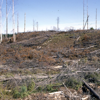
Photograph depicts a deforested patch of land in Burt Township, Timiskaming, Ontario. The trees are predominantly Jack Pine (Pinus Banksiana) and are set to burn in a prescribed fire.
Smoke pattern from incendiaries - prescribed burn
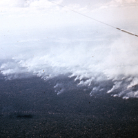
Photograph depicts an aerial view of the smoke pattern from an intentional wildfire in Western Australia.
Spot fire from incendiary about ½ hour after ignition
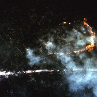
Photograph depicts an aerial view of a human-caused spot fire next to a road, thirty minutes after ignition, in Western Australia.
Road to dwellings - 1 year after fire
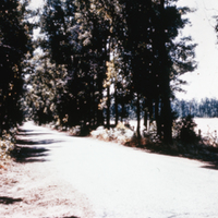
Photograph depicts a paved, tree-lined road on the way to Australian dwellings one year after a wildfire.