
Browse Items (4516 total)
- Collection: Ken Armson fonds
Sort by:
Blackstone Lake - PIm regeneration - Note windthrow
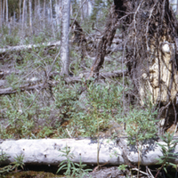
Photograph of a windthrown tree in a burnt forest stand near Blackstone Lake, Ontario. In the background, large amounts of dead, burnt, grey trees can be seen towering above the lush green regrowth below.
Soil type: #39
Soil type: #39
Blackstone Lake - PNb regeneration
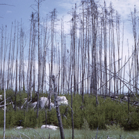
Photograph of an area of pine regeneration in a burnt forest stand near Blackstone Lake, Ontario. Large amounts of dead, burnt, grey trees can be seen towering above the lush green regrowth below.
Soil type: #39
Soil type: #39
Blackstone Lake - Aerial view of burned and unburned area - 1961 fire
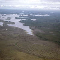
Aerial photograph of the boundary where the fire damage stops near Blackstone Lake, Ontario. The photograph shows where the landscape is visually split between the brownish/grey burnt forest and the green unburnt forest. The lake can also be seen in…
Blackstone Lake - Aerial view of fire boundary - 1961 fire
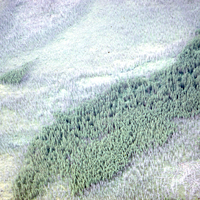
Aerial photographs of large areas of gray burnt trees near Blackstone Lake, Ontario. Areas of green unburnt forest stands can also be seen in the photographs. The photographs are taken from low enough altitude that individual trees can be made out.
Blackstone Lake - Views of fire boundary - 1961 fire
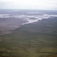
Aerial photographs of the boundary where the fire damage stops near Blackstone Lake, Ontario. The photographs show where the landscape is visually split between the brownish/grey burnt forest and the green unburnt forest. The lake can also be seen in…
Blackstone Lake - Overall view - 1961 fire
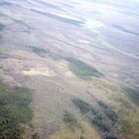
Aerial photographs of large areas of grayish/brown burnt trees near Blackstone Lake, Ontario. Areas of green unburnt forest stands can also be seen littering the landscape.
Blackstone Lake - General aerial view - 1961 fire
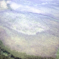
Aerial photographs of large areas of burnt trees near Blackstone Lake, Ontario. Areas of green unburnt tree stands can be seen around the gray burnt trees.
Grace Lake - Till, sandy loam - Unburnt
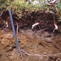
Photograph of a cross-sectional view of soil in a unburnt forest stand near Grace Lake, Ontario. The organic, topsoil and subsoil layers can clearly be seen. Note that the organic layer is much thicker than similar soil in the burnt forest stands…
Grace Lake - Stand view - PIm, PNb 98 yr, 70 ft. - Unburnt
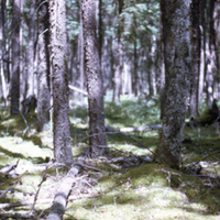
Photograph of an unburnt forest stand near Grace Lake, Ontario. Large living trees can be seen standing tall over the green mossy forest floor. A black hat can be seen on the ground near the bottom of the image.
Soil type: #38
Soil type: #38
Grace Lake - W. l . sand - Note windthrow - 1962 fire
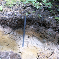
Photograph of a cross-sectional view of soil in a burnt forest stand near Grace Lake, Ontario. The organic, topsoil and subsoil layers can clearly be seen. Roots sticking out horizontally on the right side of the image are indicative of windthrow. A…