
Browse Items (4516 total)
- Collection: Ken Armson fonds
Sort by:
Swastika, Doon Township - aerial view of fire area 1 week after fire - low oblique view
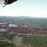
Photograph depicts a aerial low oblique or shallow view of a burned forested area in Doon Township, Swastika, Timiskaming district, Ontario, one week after a fire.
Swastika, Doon Township. - aerial view of fire area 1 week after fire
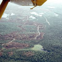
Two photographs depict separate aerial views of a burned forested area one week after a fire in Doon Township, Swastika, Timiskaming District, Ontario.
Doon Township. - Swastika District - cut over west of Matachewan
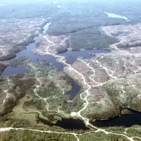
Photograph depicts an aerial view of a forestry cut of trees outside of Doon Township, Swastika, Timiskaming district, Ontario, west of Matachewan.
Burt Township - Al stake in heavy slash - 1300 F - melted Al stake
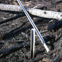
Photograph depicts an Al stake placed within heavy slash or tree litter, located in a forested region near Burt Township, Timiskaming, Ontario, The Al stake was melted and damaged by 1300 fahrenheit heat during a fire.
Soil Type: 13
Soil Type: 13
Burt Township - medium slash following fire
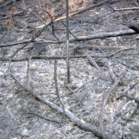
Photograph depicts a medium amount of tree litter or slash left behind following a fire in Burt Township, Timiskaming, Ontario.
Soil Type: #3
Soil Type: #3
Burt Township - close-up of exposed mineral soil
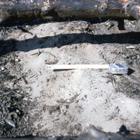
Photograph depicts a close up image of exposed mineral soil in Burt Township, Timiskaming, Ontario after a fire. A measuring tape is shown, as well as an exposure of mineral soil.
Burt Township - exposure of mineral soil on skidder trail
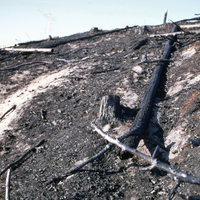
Photograph depicts a forested area outside of Burt Township, Timiskaming, Ontario, following a fire. A logging skidder trail has exposed mineral content in the soil.
Burt Township - general view 1 week after burn
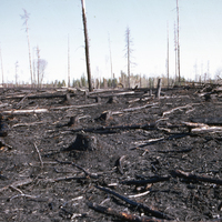
Photograph depicts a general view of a forested area near Burt Township, Timiskaming, Ontario, 1 week after a fire.
Burt Township - general view of steep slope following burn - showing some baring of mineral soil
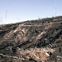
Photograph depicts a general view of a steep sloped hillside covered in tree litter following a fire in Burt Township, Timiskaming, Ontario. The hill partially contains mineral soil.
Soil type: #3
Soil type: #3
Burt Township - general view following fire on slope
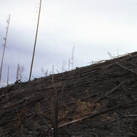
Photograph depicts trees and tree debris on a sloped hill following a fire in Burt Township, Timiskaming, Ontario.