
Browse Items (13664 total)
Sort by:
Burt Township - exposure of mineral soil on skidder trail
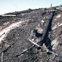
Photograph depicts a forested area outside of Burt Township, Timiskaming, Ontario, following a fire. A logging skidder trail has exposed mineral content in the soil.
Burt Township - close-up of exposed mineral soil
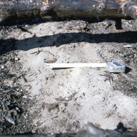
Photograph depicts a close up image of exposed mineral soil in Burt Township, Timiskaming, Ontario after a fire. A measuring tape is shown, as well as an exposure of mineral soil.
Burt Township - Al stake in heavy slash - 1300 F - melted Al stake
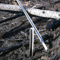
Photograph depicts an Al stake placed within heavy slash or tree litter, located in a forested region near Burt Township, Timiskaming, Ontario, The Al stake was melted and damaged by 1300 fahrenheit heat during a fire.
Soil Type: 13
Soil Type: 13
Burnt Soil, general view
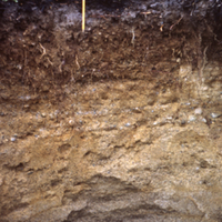
A pencil in front of a cross section of soil. A general view of ground near Sioux Lookout that was burnt in 1967. Soil #1.
Burnt Soil, closer view
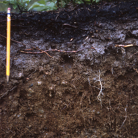
A pencil in front of a cross section of soil. A closer view of ground near Sioux Lookout that was burnt in 1967. Soil #1.
Burnt Soil, close-up
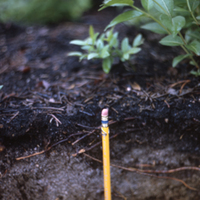
A pencil in front of a cross section of soil. A close-up of ground near Sioux Lookout that was burnt in 1967. Soil #1.
Burnswark hill fort and Roman siege works. Lockerbie, Dumfriesshire
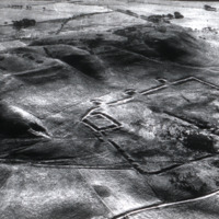
Roman archeological sites
Burning of Hudson's Bay Store
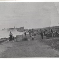
Burning of Hudson's Bay Store, Simpson Street (Fort William), Thunder Bay. Donor: Mrs. R. Adams (Wilen).
Burning of Hudson's Bay Store
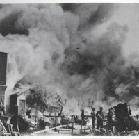
Burning of Hudson's Bay Store, Simpson Street (Fort William), Thunder Bay. Donor: Mrs. R. Adams (Wilen).
Burn, aerially seeded
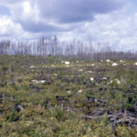
Burn aerially seeded in 1964 on boulder pavement with teluric water. Photo one year later. Suzanne Lake, Dryden.