
Browse Items (13664 total)
Sort by:
Blackstone Lake - Gleyed sand - Note windthrow - 1961 fires
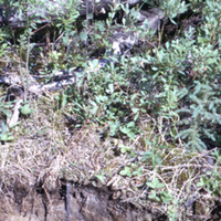
Photograph of a cross-sectional view of soil in a burnt forest stand near Blackstone Lake, Ontario. The organic, topsoil and subsoil layers can clearly be seen. A metal ruler can be seen near the center of the image. Evidence of windthrown trees can…
Blackstone Lake - General stand view - PIm, PNb - 92 yr - 78% - Unburned
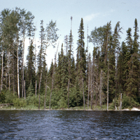
Photograph of an unburnt forest stand near Blackstone Lake, Ontario. The unburnt forest can be seen standing on the other side of a body of water which is shown at the bottom of the image.
Soil type: #40
Soil type: #40
Blackstone Lake - General aerial view - 1961 fire
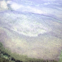
Aerial photographs of large areas of burnt trees near Blackstone Lake, Ontario. Areas of green unburnt tree stands can be seen around the gray burnt trees.
Blackstone Lake - Aerial view of fire boundary - 1961 fire
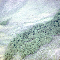
Aerial photographs of large areas of gray burnt trees near Blackstone Lake, Ontario. Areas of green unburnt forest stands can also be seen in the photographs. The photographs are taken from low enough altitude that individual trees can be made out.
Blackstone Lake - Aerial view of burned and unburned area - 1961 fire
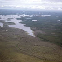
Aerial photograph of the boundary where the fire damage stops near Blackstone Lake, Ontario. The photograph shows where the landscape is visually split between the brownish/grey burnt forest and the green unburnt forest. The lake can also be seen in…
Blacksmith
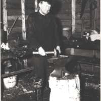
Blacksmith working on horseshoe.
Black-white spruce. Plantation
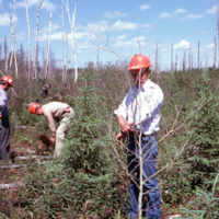
Same as slide #1428. Prescribed burn planted to spruces, Fall 1970. Aerial herbicide (2lb./acre, 24D) in 1977. Longlac.
Black walnut five years after planting on old field using site prep with simazine.
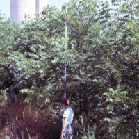
Black walnut five years after planting on old field using site prep with simazine. Coulson tract. SW Ontario.
Black swallowtail
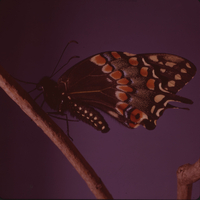
Photograph of the side view of a black swallowtail butterfly perched upon a twig. Latin name: Papilio polyxenes
Black spruce(2+2), freeze stored over winter planted Spring 1976.
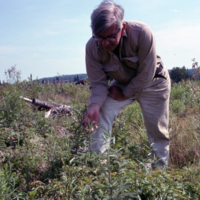
Black spruce(2+2), freeze stored over winter planted Spring 1976. New Brunswick. Person is Pat Marceau. J.D.Irving. Veneer-cedar Brook Road Black Brook