
Browse Items (13692 total)
Sort by:
Aerial view of pre-commercial thinning in jack pine
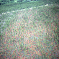
Aerial view of pre-commercial thinning in jack pine approximately 46 years old (Mississagi fire). Lac aux Sables. Blind River.
Aerial view of Port Arthur harbour
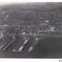
Aerial view of Port Arthur harbour with resident houses in the background.
Aerial view of PLF
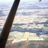
Aerial view of PLF in southern Ontario
Aerial view of planted cutover and uncut forest.
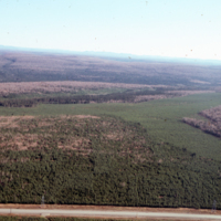
Aerial view of planted cutover and uncut forest. Stewart Highway, Black Brook, J.D.Irving
Aerial view of plantations established in strips
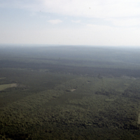
Aerial view of plantations established in strips. Black Brook, J.D. Irving.
Aerial view of plantations and Deersdale mill
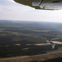
Aerial view of plantations and Deersdale mill. Napadogan Road. J.D. Irving.
Aerial view of plantations & forest
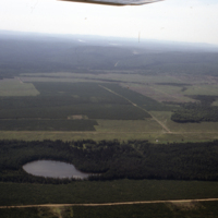
Aerial view of plantations & forest. Veneer Hill, Black Brook. J.D. Irving.
Aerial view of plantations
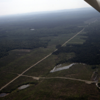
Aerial view of plantations. N.B. Roads and series of beaver ponds. Black Brook, J.D.Irving
Aerial view of plantations
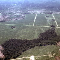
Aerial view of plantations. N.B. current cut in lower rh corner, roads and extent of plantations. Veneer Hill area, Black Brook, J.D. Irving.
Aerial view of plantation
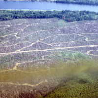
Aerial view of plantation shown in slides # 211 & 212. Lake is south part of Watabeag Lake. N.B. road pattern and reserve on lake shore Engelhart/Watabeag M.U's.