
Browse Items (13692 total)
Sort by:
Aerial view of black spruce planted 1965, after 14 years.
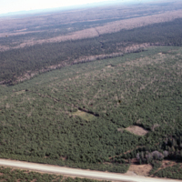
Aerial view of black spruce planted 1965, after 14 years. Camp 16, VeneerGate, Black Brook. J.D.Irving
Aerial view of balsam fir killed by spruce budworm.
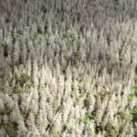
Aerial view of balsam fir killed by spruce budworm. Cape Breton Hlds. Photo by NS Dept. Lands & Forests
Aerial view of areas cut 1950-1960
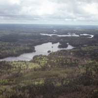
Aerial view of areas cut 1950-1960, 28-38yrs later. N.B. mixed species no treatments. South of Godson Lake, Dryden.
Aerial view of area regenerated after clearcutting then wildfire 1976
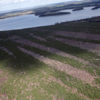
Aerial view of area regenerated after clearcutting then wildfire 1976. Aerially seeded 1977 and again in 1979. Now 9-11 years later. N.B. bands of regeneration, also shows blanks. Camp #1. Dryden.
Aerial view of a rural area in Hawkins County, Tennessee
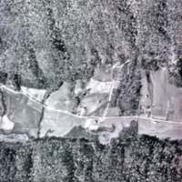
Aerial view of a rural area in Hawkins County, Tennessee; area is approximately 1.5 x 1 mile; photo prior to being mapped cf. Slide # 156.
Aerial view of 8 year old red pine plantation
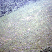
Aerial view of 8 year old red pine plantation. S.D. Warren, Maine.
Aerial view of 35 acre clearcut in hardwoods
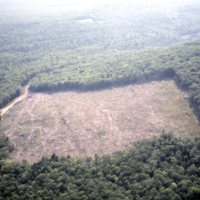
Aerial view of 35 acre (14 hectare) clearcut in hardwoods. N.B. absence of slash - everything utilized. S.D. Warren.
Aerial view of 'new' forest after seed scattering in early 1950's
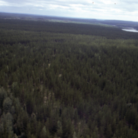
Aerial view of 'new' forest after seed scattering in early 1950's following logging, now ca. 30 yrs old. Longlac, Kimberly-Clark
Aerial view hardwood, residual white pine cutover, barrel scarified and seeded with jack pine

Aerial view hardwood, residual white pine cutover barrel scarified then seeded with jack pine (1972) Camp 63, Miramichi, J.D.Irving.
Aerial View From North n.b. Engelhart R. Regenerated Clearcut and Main Access Road off to Left

Aerial view from north n.b. Engelhart R. regenerated clearcut and main access road off to left. Nursery, aerial.