
Browse Items (13692 total)
Sort by:
Aerial view after the fire to show that edges were not burned.
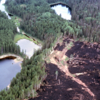
Aerial view after the fire to show that edges were not burned. Kapuskasing.
Aerial view 4 yrs. after strip clearcutting
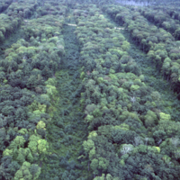
Aerial view 4 yrs. after strip clearcutting. N.B. regeneration in strips cf slides # 1955 & 1956. Blind River.
Aerial use of bullet.
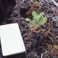
Aerial use of bullet (ca. 1971-1972?). c.f. Slide 1090. This one succeeded, but success rate very low. Pacific Logging.
Aerial spraying
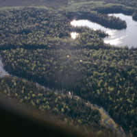
Aerial spraying , Swallow L. Shebandowan
Aerial spraying
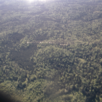
Aerial spraying , Swallow L. Shebandowan
Aerial spraying
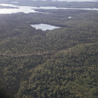
Aerial spraying , Swallow L. Shebandowan
Aerial spraying
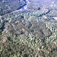
Aerial spraying, Swallow L. Shebandowan.
Aerial Photographs of Thunder Bay Harbour
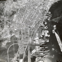
Three aerial photographs showing the Thunder Bay Harbour and the northern Port Arthur part of town. These images date from 1948, and they come from the Forestry Aerial Photographs collection.
Note the large booms of logs in the water, awaiting…
Note the large booms of logs in the water, awaiting…
Aerial Photograph of Lakehead University Campus, 1969
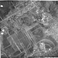
Aerial photograph of the land where the Lakehead University Thunder Bay Campus was developed. 1969. Aerial photography commissioned by the City of Thunder Bay.
Aerial Photograph of Lakehead University Campus, 1959
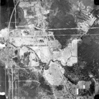
Aerial photograph of the land where the Lakehead University Thunder Bay Campus was developed. 1959. Aerial photography commissioned by the City of Thunder Bay.