
Browse Items (13649 total)
Sort by:
Burt Township - exposure of mineral soil on skidder trail
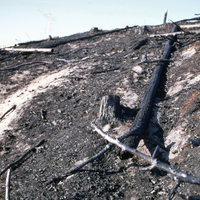
Photograph depicts a forested area outside of Burt Township, Timiskaming, Ontario, following a fire. A logging skidder trail has exposed mineral content in the soil.
Burt Township - general view 1 week after burn
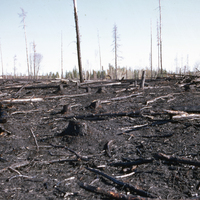
Photograph depicts a general view of a forested area near Burt Township, Timiskaming, Ontario, 1 week after a fire.
Burt Township - general view of steep slope following burn - showing some baring of mineral soil
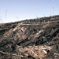
Photograph depicts a general view of a steep sloped hillside covered in tree litter following a fire in Burt Township, Timiskaming, Ontario. The hill partially contains mineral soil.
Soil type: #3
Soil type: #3
Burt Township - general view following fire on slope
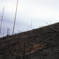
Photograph depicts trees and tree debris on a sloped hill following a fire in Burt Township, Timiskaming, Ontario.
Burt Township- fire May 20/1970 - general view
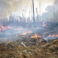
Two photographs depict a general view of a fire in Burt Township, Timiskaming, Ontario.
Burt Township - fire May 20/1970
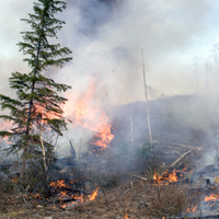
Two photographs depict a fire in Burt Township, Timiskaming, Ontario.
Burt Township - Heavy slash accumulation before burn
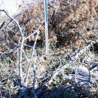
Photograph depicts a heavy amount of tree litter (or slash) accumulation around an Al stake in Burt Township, Timiskaming, Ontario.
Burt Township - normal slash accumulation before burn
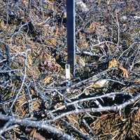
Photograph depicts a normal amount of tree litter (or slash) accumulation around an Al stake in Burt Township, Timiskaming, Ontario.
Burt Township - T Seanger taking samples prior to burn
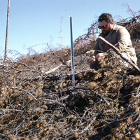
Photograph depicts T. Seanger taking samples from an al state prior to a prescribed burn in Burt Township, Timiskaming, Ontario
Burt Township - J Irwin & T Seanger taking soil samples from randomly located al stakes 1 day before burn
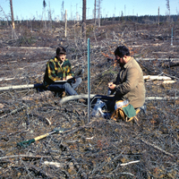
Photograph depicts J Irwin (left) and T Seanger (right) studying soil samples from al stakes in Burt Township, Ontario, one day before a prescribed burn