
Browse Items (13654 total)
Sort by:
Map of plantations, Tyrol Lake, Beardmore.
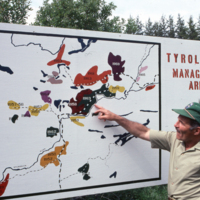
Map of plantations, Tyrol Lake, Beardmore. Person is George Marek
Map of ranges of loblolly (P.taeda) and slash (P.elliottii) in the southeastern US
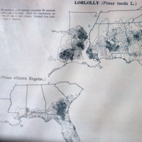
Ranges of loblolly (P.taeda) and slash (P.elliottii) in southeastern US
Map of soils of southeastern USA
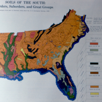
Soils of southeastern US
Map of the Northwestern Ontario Development Association area
Map of the Northwestern Ontario Development Association area.
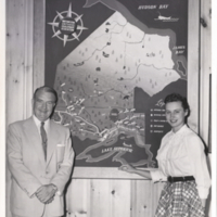
Map of the region covered by the Northwestern Ontario Development Association
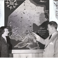
Map of the region covered by the Northwestern Ontario Development Association. Two people stand in front discussing.
Map of the soil associations of Ontario
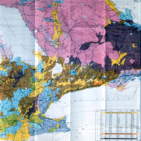
Map of the soil associations of Ontario; see slides # 158 & 159 for closeups of two areas in this map.
Map with Overlay of FRI Cover Types and Soil Types
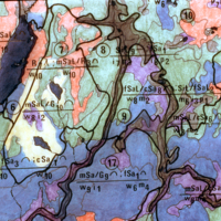
Map with overlay of FRI cover types and soil types for portion of Plonski Forest (EMU) in North Eastern Ontario, cf. #307 and #308.
Map: Mid-Canada Development Corridor
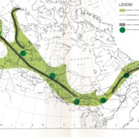
Map of Canada with the Development Corridor indicated: part of the concept development by ACRES Research and Planning Ltd circa 1968.
Maple regeneration after harvest 1972, now 10 yrs later.
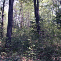
Maple regeneration after harvest 1972, now 10 yrs later. Reed Property. Maple. MNR
Maps of damaging tropical storms and glaze storms in the USA
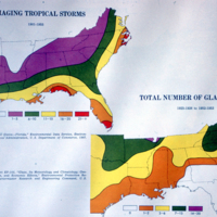
Damaging storms in southeastern US